
John's Peak
The mountain above Jacksonville Forest Park. Motorcycle Riders Association land that's open to riders on bikes, with trails and dirt roads that link straight into the park.
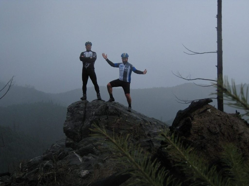
Above the park, and shared with motorcycles.
What it is. John's Peak rises above Jacksonville Forest Park. Much of the mountain is private land owned and managed by the Motorcycle Riders Association (MRA), about 1,300 acres run as an off-highway vehicle area. It's open to non-motorized use, bicycles included.
How it fits with Forest Park. Many MRA trails meet City of Jacksonville Forest Park land at the park boundary, so you can climb out of the park onto the mountain and link the two into a longer ride. Once you leave the park, you're on the MRA's land and rules, not the City's.
Getting there. Ride up Jacksonville Reservoir Road from Highway 238, the same road that serves Forest Park. The MRA's Lily Prairie staging area is off Reservoir Road, and its Pair-A-Dice staging area (day use) is off Pair A Dice Road. The MRA maintains Reservoir Road, and it can be busy with trucks and trailers on weekends.
Share the trail. Expect motorcycles and ATVs, especially on weekends. Ride where you can be seen, keep your speed down on blind corners, and move over early when you hear an engine.
John's Peak to Kane Creek.
27.7 miles and about 3,100 feet of climbing, 30 percent unpaved, from our front door. It climbs Jacksonville Reservoir Road past Forest Park, crosses the mountain on Timber Road, then drops to Kane Creek and comes home on Old Stage Road. A good day on a gravel bike.
Open this route on Ride with GPS → Download the GPX, send it to your bike computer, or follow it on your phone.
The Reservoir Road climb.
5.9 miles out and back with about 970 feet of climbing, all on dirt. It starts where Reservoir Road leaves Highway 238, a mile from the shop, and climbs to about 2,660 feet. Ride up, turn around, and come back down, or use it as the way in to the trails above the park.
Open this route on Ride with GPS → Download the GPX, send it to your bike computer, or follow it on your phone.
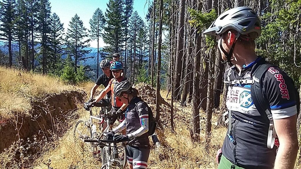
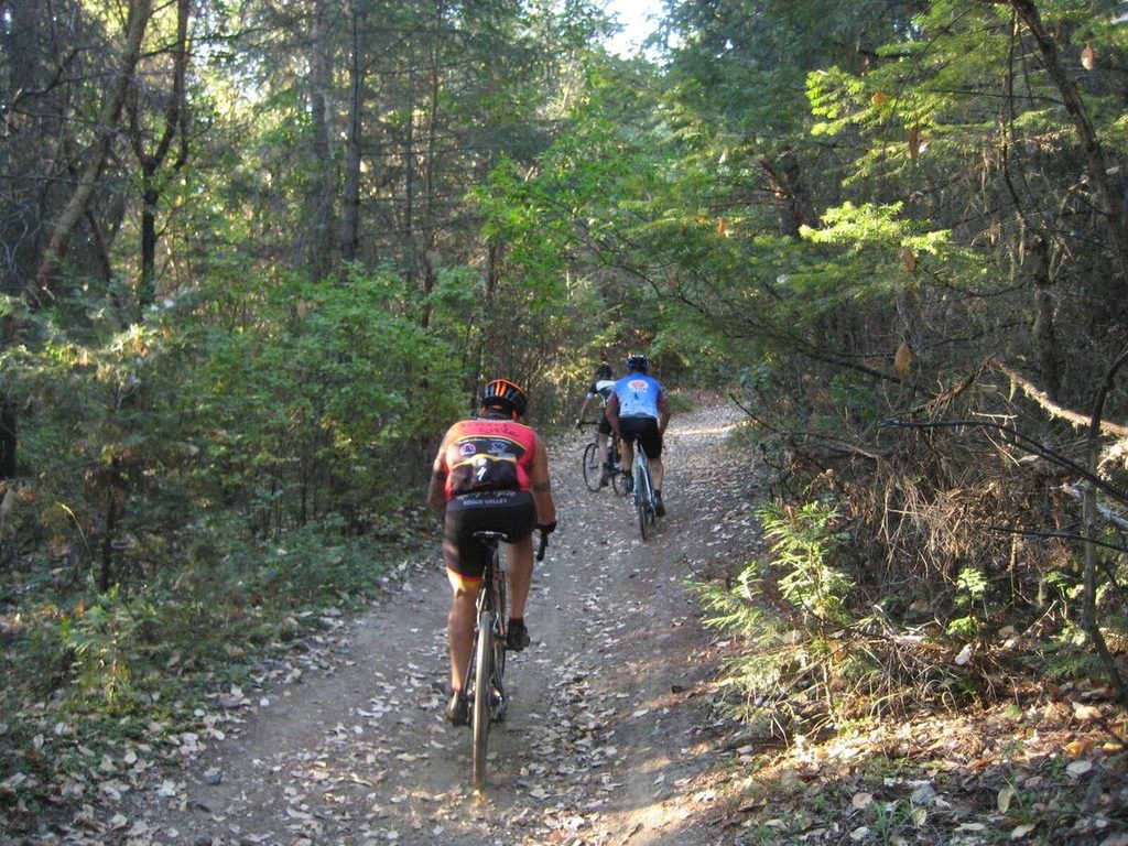
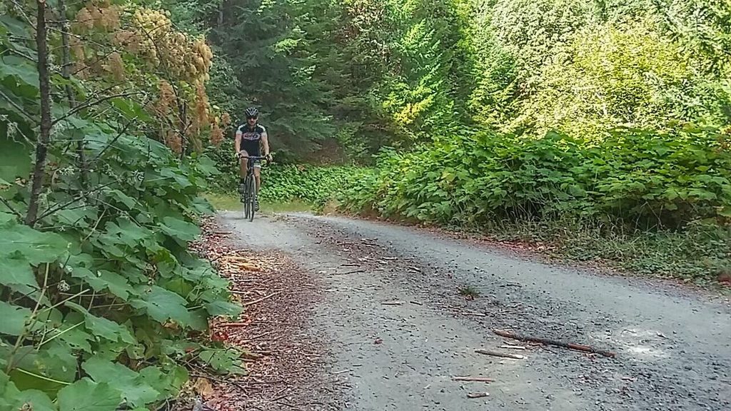
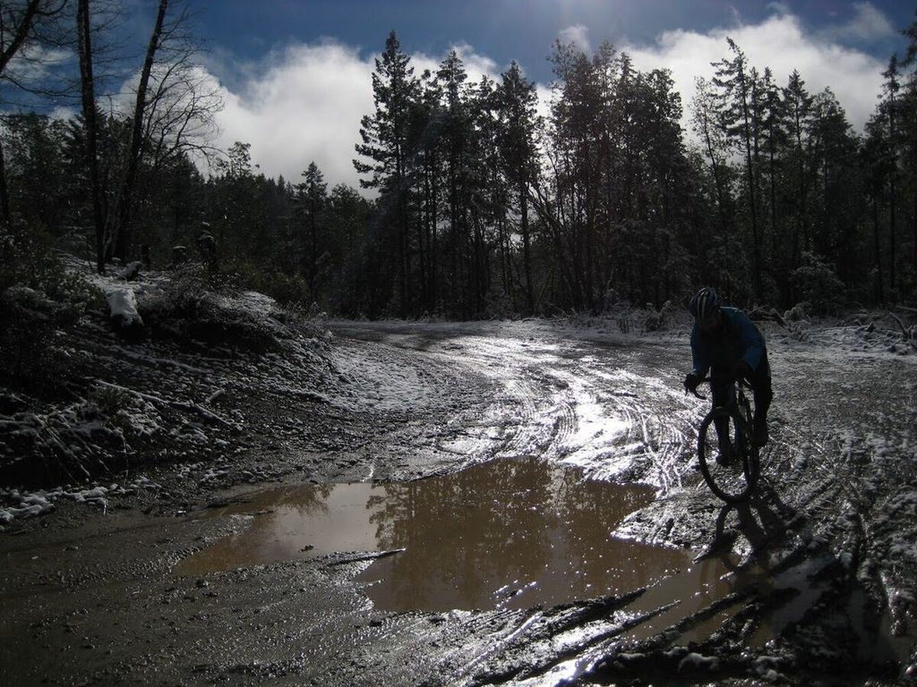
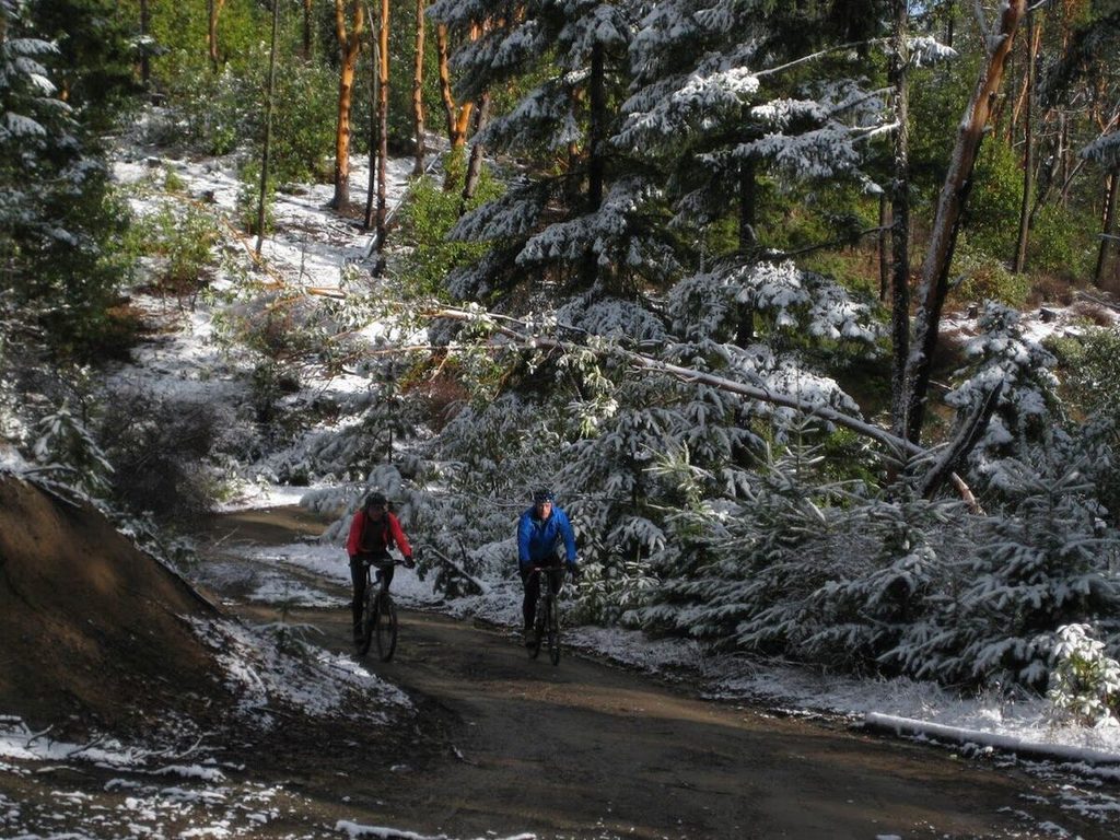
Photos from our rides.
From the Cycle Analysis team blog.
Rules and closures.
Closed area. The MRA has closed everything past the green gate below the radar tower on Walker Peak, down John's Peak Road, and the trails south of it. That land is private, and sheriff's deputies patrol it. Turn around at the gate. Near the Pair-A-Dice staging area, stay on the Cabin Trail and off the neighboring properties.
Fire season. The MRA follows Oregon Department of Forestry fire rules. No campfires anywhere on MRA land once the fire level reaches moderate.
Hunting season. Unlike Forest Park, the MRA land and the BLM and timber land around it are open to hunting in the fall. Wear something bright.
Check for changes. The MRA posts closures and notices on its website. Look before you go, especially in fire season.
Ride reports from John's Peak.
- Sore Knees And Big Trees — Aaron Mock, September 2016
- Like Old Times — Aaron Mock, August 2016
- Looking Back. Looking Forward — Aaron Mock, December 2016
- Forgotten...But, Not Gone? — Aaron Mock, February 2017
- So Long, Mr Dingman — Aaron Mock, October 2017
- In Retrospect: The Gravel Grinders of 2016 — Jacob Hammond, July 2018
Get your bike ready for the climb.
We're at 110 N 5th St., right on the way. Call (541) 899-9190 or stop in, Tuesday through Saturday.