
Jacksonville Forest Park
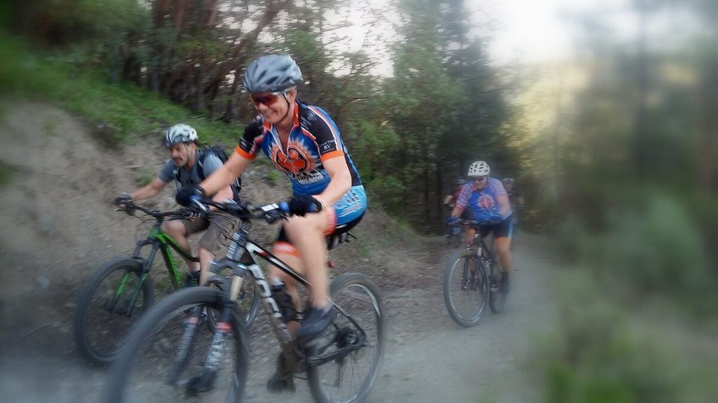
Over 30 miles of singletrack in a city-owned forest two miles from the shop. These are the trails our Wednesday night ride uses.
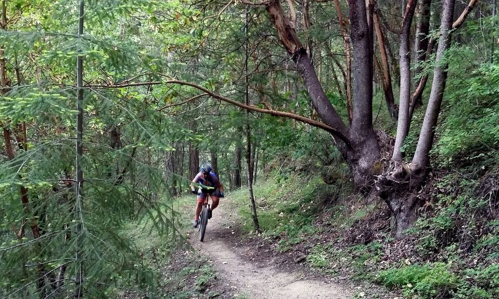
Getting there, and what to expect.
Where it is. Take Highway 238 west out of town and turn right on Jacksonville Reservoir Road; the park entrance is a quarter mile up. From the shop you can ride there on the Sarah Zigler Trail to the 238 crossing at Reservoir Road.
Parking. There are eight parking areas along the road, with printed trail maps at the P-1, P-1A and P-2 kiosks and a pit toilet. The trail map is also free in the Avenza Maps app.
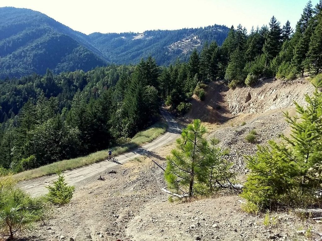
The riding. The City counts over 30 miles of multi-use trail on about 1,080 acres, from 1,920 feet at the entrance to 3,455 feet at the top of Jackson Ridge. Most of it is narrow singletrack on steep, forested slopes, tied together by short sections of old road. A lot of it climbs, and some of the descents are steep and rocky.
Who looks after it. It's a City of Jacksonville park, with trail work by the Jacksonville Woodlands Association and Rogue Valley Mountain Bike Association volunteers.
A 12.6-mile loop from the shop.
About 2,100 feet of climbing, almost all of it on dirt. It leaves from our front door on the Sarah Zigler Trail, climbs into the park on the Jackson Creek bike trail and Sofie's, tops out on Jackson Ridge, and comes back down Atsahu, Twin Peaks, Owl Hoot, Boulder and Ol' Miners. That's close to what the Wednesday ride does.
Open this route on Ride with GPS → Download the GPX, send it to your bike computer, or follow it on your phone.
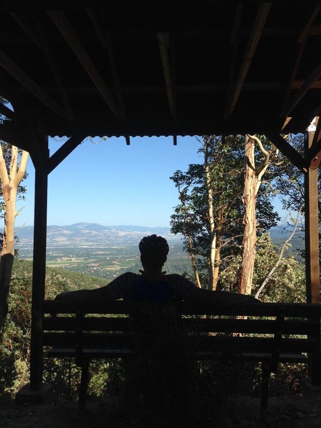
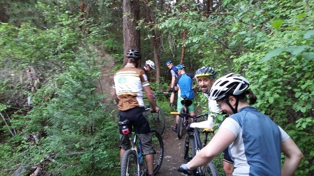
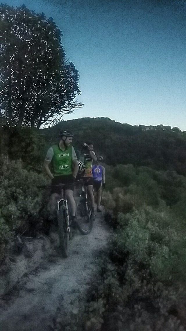
Photos from our rides.
From the Cycle Analysis team blog.
Which trails you can ride.
Bike-only trails: Granite, Jackson Creek Bike, Slip-N-Slide and Twister. Hikers are asked to use the parallel trails.
Multi-use trails (bikes welcome): Arrowhead Pass, Atsahu, Boulder, Canyon Vista, Claimjumper, Halls of Manzanita, Jackson Ridge, Legburner, Naversen Family, Norling, Ol' Miners, Owl Hoot, Ponderosa Snag, Rail, Ridgeview, Sofie's, Steep Canyon Rangers and Twin Peaks.
Hiking only, no bikes: Cantrall Creek, Canyon Falls, Grotto, Jackson Creek Nature, Knobcone Pine, Madrone Grove, Pipsissewa, Rattlesnake Gulch, Shade Creek and Siskiyou.
Park rules. 10 mph on all roads and trails. The park is day use only and closes at dusk. No motor vehicles off the road, no hunting, fires, smoking, alcohol or camping. Dogs can be off leash but must be under control.
These lists come from the City's trail map, and trails change. Check the kiosk map or the Avenza app before you ride, and call the City at (541) 899-1231 with questions, including e-bike rules.
Keep climbing: John's Peak. Many trails run from the top of the park onto John's Peak, Motorcycle Riders Association land that's open to bikes. Past the park boundary the City's rules give way to the MRA's, and you'll share the trails with motorcycles. See our John's Peak guide for how it connects, and the one area that's closed.
Ride reports from Forest Park.
- Wildcat Fever — Aaron Mock, April 2016
- Group It Up — Aaron Mock, May 2016
- Better Late Than Never — Aaron Mock, June 2016
- Who Wants To Climb? — Aaron Mock, July 2016
- Let's Try This Again — Aaron Mock, August 2016
- Get Lost — Aaron Mock, September 2016
Stop by the shop on the way.
We're at 110 N 5th St., on the way to the park. Tubes, a quick adjustment, or a full tune-up: call (541) 899-9190 or just come in. Open Tuesday through Friday 10 to 6, Saturday 10 to 4.