
The Woodlands and Britt Trails
Sixteen-plus miles of multi-use singletrack right in town, from the Britt Festival grounds to Rich Gulch and Beekman Woods.
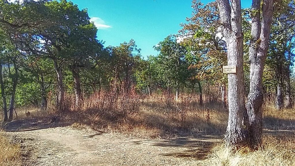
Trails you can ride to from downtown.
What it is. About 255 acres of city parkland around town, with more than 16 miles of trails looked after by the Jacksonville Woodlands Association. Every trail is multi-use, so expect hikers and dogs, and ride accordingly.
Where to start. You can ride straight there from the shop. If you drive, there's parking near the Britt Gardens trailhead across California Street by the library, a dirt lot above the Britt grounds (1st Street to Fir Street), the Beekman House lot off East California Street, and public parking for Rich Gulch off South Oregon Street.
The riding. Short, twisty trails with some punchy climbs. The easier ones include Britt Ridge, Jane Naversen, South Fork View and White Oak. Rich Gulch, Beekman Loop, Jackson Forks and Liz's Loop are among the harder ones. Tie a few together and you've got a good hour.
Rules. Bikes are welcome but asked to stay off in wet weather. Dogs on leash. No motor vehicles, horses, hunting, fires or camping. Liz's Loop crosses private land on a public easement, so stay on the trail.
The Britt 6.
A 6.1-mile loop with about 830 feet of climbing, nearly all on dirt. It starts near the Rich Gulch trailhead and links Rich Gulch, Panorama Point, Britt Ridge, Jackson Forks, Jane Naversen, Petard Ditch, Liz's Loop, White Oak and Britt Canyon.
Open this route on Ride with GPS → Download the GPX, send it to your bike computer, or follow it on your phone.
Want more?
From the top of the Britt trails, Cady Road heads toward Sterling Creek and the back roads, and Forest Park is two miles west. See the Forest Park guide and the road and gravel loops.
From our blog: Gravel Epic(ness), which links Beekman, White Oak and Petard on the way to the Britt trails, and So Long, Mr Dingman.
We're right around the corner.
110 N 5th St. Call (541) 899-9190 or stop in, Tuesday through Saturday.